With the unseasonably warm weather we enjoyed in May a my friend Nicolette and I decided to head for Quadra Island and the Main Lakes Chain (Village Bay) canoe route. We caught the Campbell River/Quadra Island ferry and found our way (Directions: HERE) to Village Bay where we put in at the boat launch on the South side of the bridge. From there we followed the Eastern shore North enviously eyeballing the cabins which line the shoreline. On a Tuesday afternoon in May, most appeared vacant and there was no boat traffic worth mentioning. Once we entered the park the cabins gave way to forest and we found a lovely rocky point where we enjoyed a picnic lunch and a swim.
 After lunch we continued up the East shore of Village Bay to the the narrow, reed filled, channel that connects Village Bay to Mine Lake. This is a lovely spot and, with the relatively high water in May, easily navigated even with a fully loaded canoe. From there we continued around Mine Lake, exploring and specking out possible camp sites. Within the park camping is permitted only at designated camp sites which does not include the Mine Lake boat launch. The launch it’s self has a small sandy beach and a picnic table making it another good spot for lunch or a swim. The island camp site we rejected as it wasn’t catching the evening sun. In the end we made camp just at the mouth of the channel which connects Mine Lake with Main Lake only because the wind was racing down this channel making it almost impossible to traverse, apparently not an uncommon situation.
 The next morning the wind had dropped so we made our way up the channel and checked out the other two campsite along the way. The second one, at the mouth of Main Lake, is definitely the nicest site on the chain, with both a sandy beach and a rocky point it faces South-West giving an excellent view of the lake and sunset. We spent the remainder of the day exploring the Main Lake, stopping to swim and eat lunch on a small rocky island on the Southern shore. The remaining camp sites were all lovely and most of them had sandy beaches. We also found the trail to Yeatman Bay just north of the campsite at the Eastern most tip of Main Lake.
 On the our third day we returned to Main Lake and took the trail to Yeatman Bay which mostly follows and old logging road which presumably was used to move timber from the interior of the island out the the open ocean and on to saw mills located elsewhere. One can still see many old growth stumps with springboard cuts in them reminding us of another time when giant trees covered the island and loggers had to work hand saws to fell them. Once you reach the bay, there is a continuation of the trail on the South shore, just inside the tree line, that takes you out to a rocky point where there’s an excellent view up and down Surge Narrows.
 That afternoon we returned to Main Lake and our camp site where we packed up and headed back south toward Village Bay, this time following the Western shore. On reaching the bridge we were in no hurry so we continued on to explore the southern portion of Village Bay Lake (South of the bridge). There are a few cabins there but about 2/3rds of the lake shore is unspoiled and there is a small rocky island, complete with a rope swing, which makes for a pleasant picnic/swimming spot.
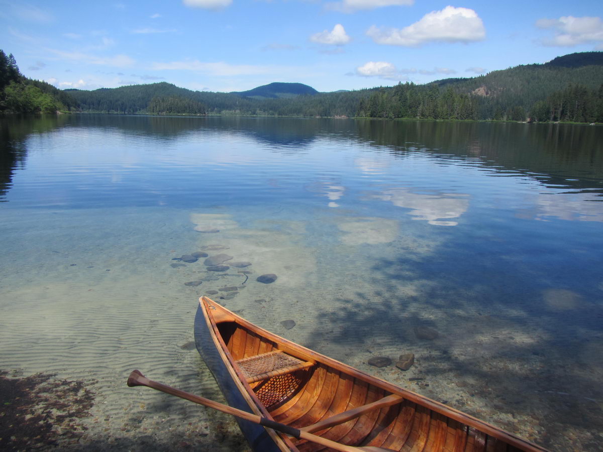
 We spent three days on the Main Lakes Chain and had a marvelous time. I’m sure we could easily have spent another day or two exploring more and perhaps have found our way to Clear Lake and/or Stramberg Lake. There is no portaging and, with the exception of the windy Main/Mine Lake channel, the route presented no real challenges so it would be a great canoe trip for kids or novice paddlers. Main Lake in particular is a beautiful and wild place that even the most seasoned wilderness explorer could not fail to enjoy.
Main Lake Provincial Park Map