Fourth Lake is a secluded mountain lake, the final lake in the Nanaimo Lakes Chain, and a reservoir which, along with Jump Lake, provides drinking water for the city of Nanaimo. Access to Fourth Lake is restricted by TimberWest’s gate at Second Lake which at present is only open to the public on weekends during the hunting season.
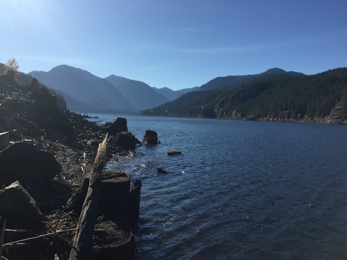
Accessing the Fourth Lake’s shoreline can be difficult as water levels in the fall can be a good 50 feet below the high water mark. On the western side of the Damn there’s an old, mostly overgrown road that leads to an old ramp down to the lake. You won’t get your average 4×4 down there but you could easily carry a canoe or kayak down. There is also a rough road that leads up to the eastern side of the damn where, at least in October of 2017, I was able to drive right down to the waters edge. For most people I would recommend the Western access.
Latitude: 49.061831
Longitude: -124.417895
Size: 200.8 ha | 496 ac | 2 km²
Direction: To get get to the Fourth Lake, follow the Island Highway (Hwy 1A) to just north of the Nanaimo River crossing (look for the Wildplay sign), then turn onto Nanaimo River Road and follow it inland for 20 kilometers to a robust orange-red gate. Keep right on River Main for about 20 km’s and look for a narrow climbing raod on the left with a sign for Fourth Lake. As there are several branches and side roads a GPS is highly recommended.
Blog Posts: Fourth Lake Secret
External Links
- Fourth Lake – Anglers Atlas
- Backroads Map Book VIBC18
- Nanaio Lakes
- Fourth Lake Dam
- TimberWest Forest Corp’s Facebook page and access information.
Fourth Lake Map