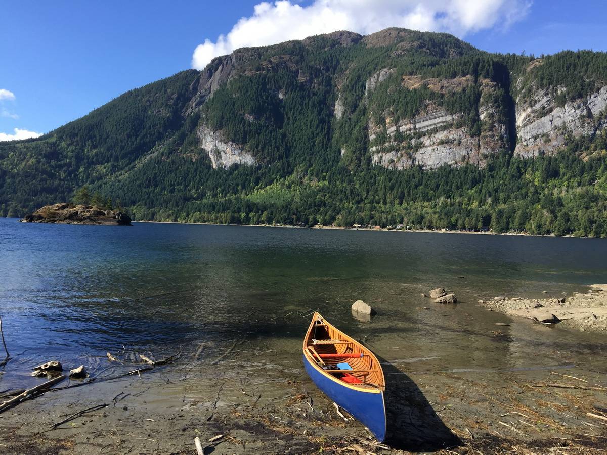
Horne lake is quite large (8.2 km²), one could happily spend a day or two exploring it’s varied shoreline, but, like so many of our island lakes it can get pretty windy in the afternoon. Public access is via Horne Lake Regional Park and camp ground located at the western end of the lake. The park, the boat launch and the campground are all beautifully maintained. They also offer canoe rentals for those unable to bring their own. The caves, located with the adjacent Horne Lake Caves Provincial Park, are well worth visiting.
Latitude: 49.35055123295072
Longitude: -124.70238956025389
Size: 815.3 ha | 2015 ac | 8.2 km²
Direction: Take the Horne Lake Rd exit (#75) off Hwy 19 and drive inland about five kilometres to the junction with Horne Lake Caves Rd; turn right and follow the Caves Rd along the north shore of the lake all the way to the entrance of Horne Lake Regional Park. Note that the gravel Caves Rd is narrow, winding and periodically used by logging trucks.
Blog Posts: Horne Lake
External Links
- Anglers Atlas
- Backroads Map BookVIBC27
- Horne Lake Regional Park
- Horne Lake Caves Provincial Park
- Horne Lake Caves
Horne Lake Map